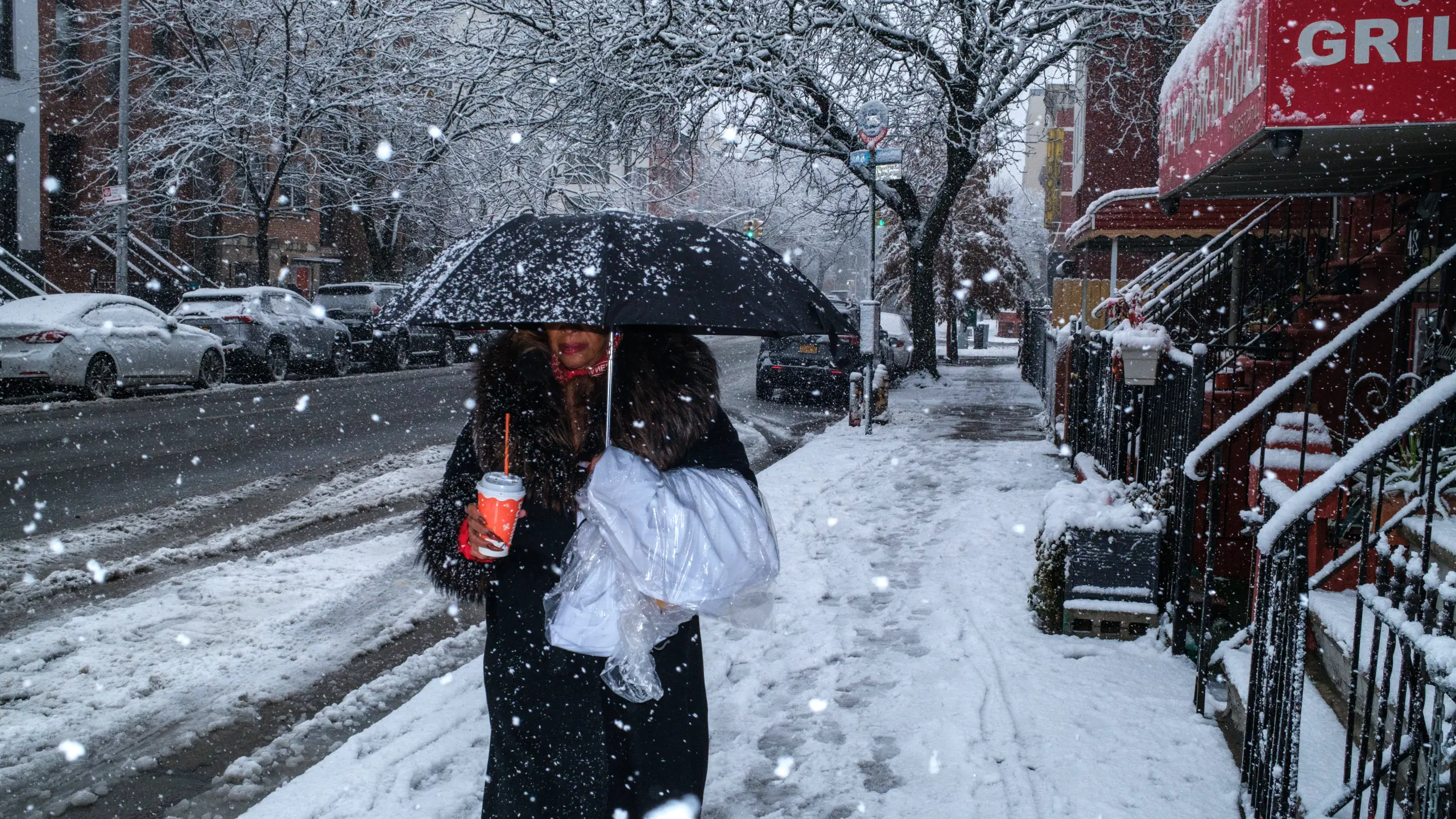
A major winter storm is set to impact the northeastern United States this weekend, bringing heavy snowfall and powerful winds across several states. Meteorologist Chris Dolce has warned that the developing nor’easter could rapidly strengthen as it moves along the East Coast, increasing the chances of blizzard-like conditions in many areas.
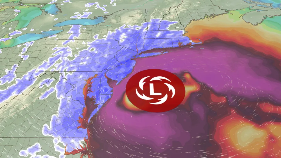
Forecasters expect the storm to affect major cities including New York City, Boston, and Philadelphia, where heavy snow and strong winds may cause travel delays and local disruptions. The system is predicted to intensify into a bomb cyclone, a term used when a storm strengthens very quickly within a short time.
Blizzard Conditions and Travel Risks Expected
Weather agencies are closely monitoring the storm’s track as conditions continue to develop. According to the National Oceanic and Atmospheric Administration, parts of the region may experience dangerous travel conditions, especially from Sunday night into Monday morning.
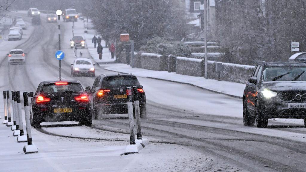
Snowfall is expected to begin as light rain or mixed precipitation before turning into steady snow as colder air moves into the area. As the storm strengthens, snowfall rates could increase significantly, reducing visibility on highways and local roads.
Strong winds are also expected to create additional hazards. Gusts over 40 mph could lead to fallen tree branches and scattered power outages. Coastal areas and open regions will likely feel the strongest wind impact.
Expected Snowfall Comparison Across Key Cities
The heaviest snow is forecast near major coastal corridors. Below is a simple comparison of expected snowfall and travel risks:
| City | Expected Snowfall | Wind Impact | Travel Conditions |
|---|---|---|---|
| New York City | 10–14 inches | Strong | Severe delays |
| Boston | 8–12 inches | Strong | Major disruptions |
| Philadelphia | 8–12 inches | Moderate to Strong | Dangerous roads |
| Baltimore | 3–6 inches | Moderate | Slippery travel |
Heavy and wet snow will be a major concern because it can stick to trees and power lines. This increases the risk of outages and blocked roads.
Coastal Impact and Storm Timing
Coastal regions such as Long Island and parts of New England may also experience minor to moderate flooding due to strong onshore winds. These winds can push ocean water inland, especially during high tide.
The storm is expected to begin during the day Sunday, with the most intense conditions arriving overnight into Monday morning. During this period, travel could become extremely difficult, particularly for early commuters.
By Monday afternoon, the system should gradually weaken, although some areas may still experience blowing snow and gusty winds.
How Residents Can Prepare
Residents across the Northeast are encouraged to prepare in advance by limiting unnecessary travel and checking emergency supplies. Charging mobile devices and keeping flashlights ready can help in case of power outages.
For ongoing updates, readers can explore our weather alerts section and winter safety tips to stay informed throughout the storm weekend.